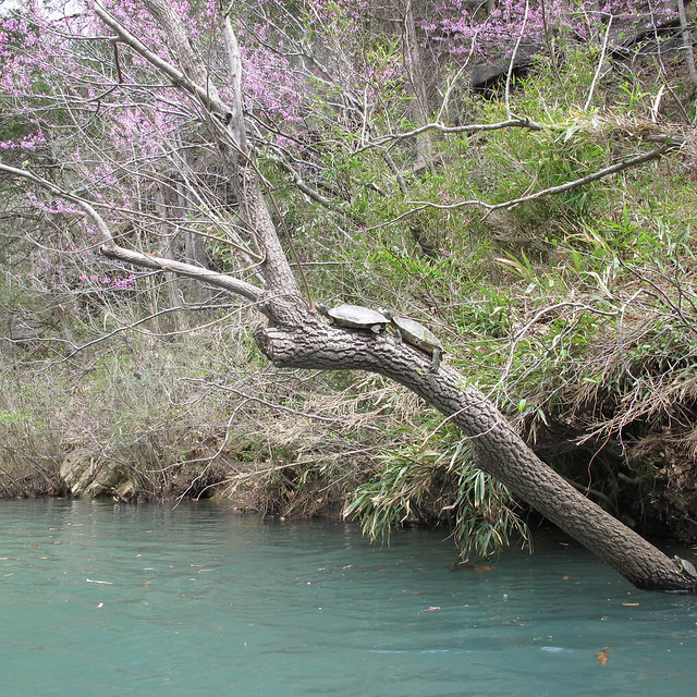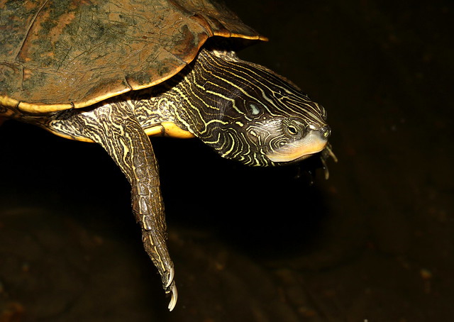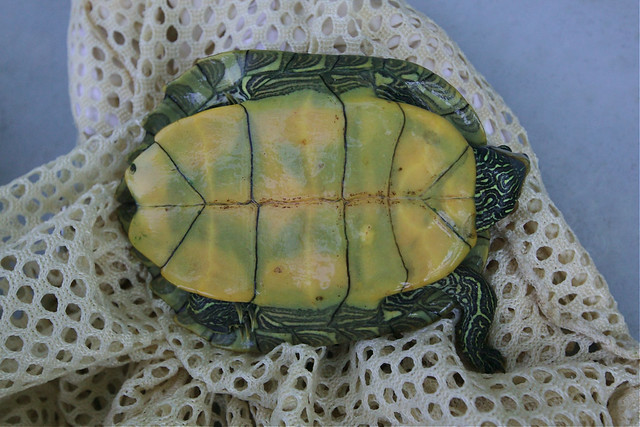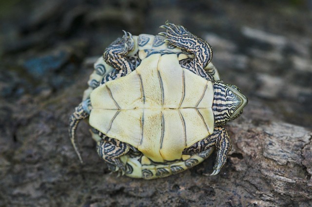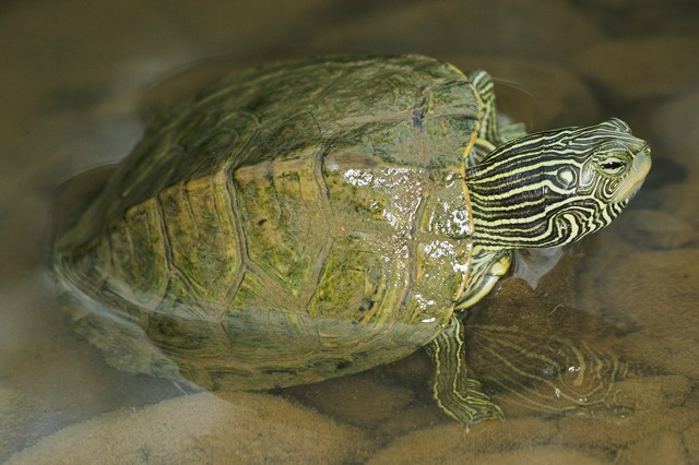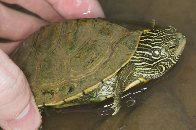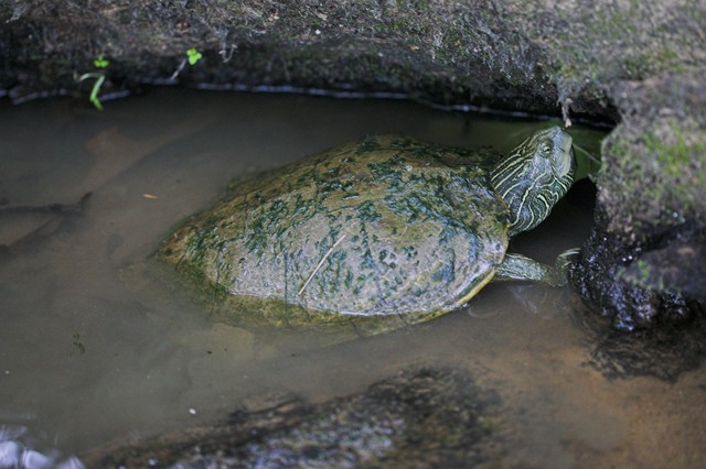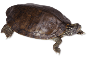
Aquatic. Weak middorsal keel. Maplike pattern. Small, yellow spot behind eye. ![]()
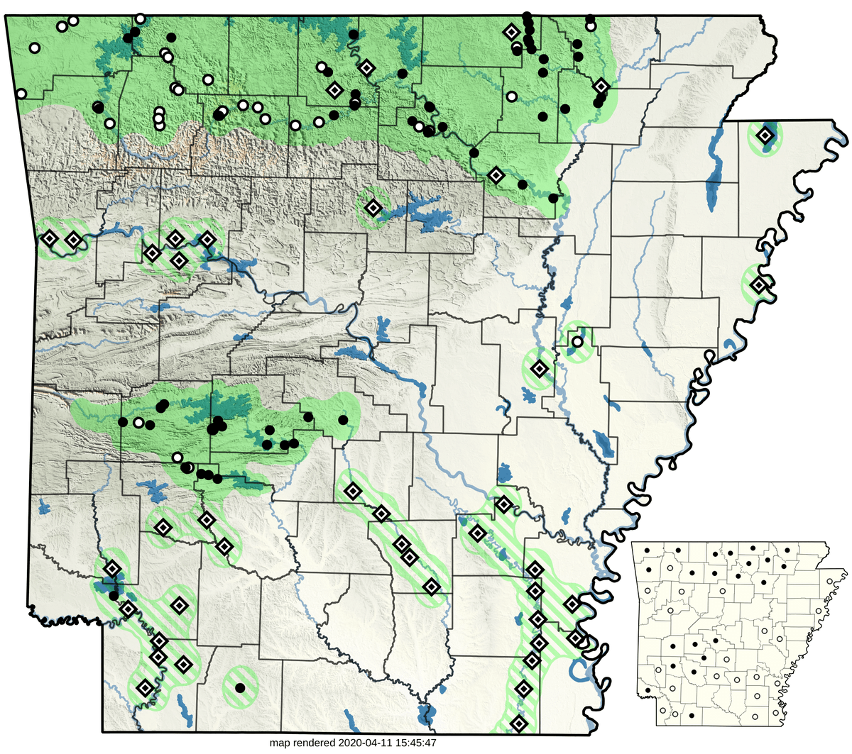
This species is represented by 195 records from 28 sources: 108 museum ( ), 0 literature (
 ), 0 research (
 ), and 46 observation (
 ), with 41 additional Trauth et al. (2004) locality points remaining unsourced (
 ). It has been museum vouchered for 22 of 75 counties (), with 21 additional counties having other forms of reported occurrence (). Years of collection range from 1855 to present.